CNES seminar: Satellites for French Guiana
From 21 to 25 September 2026, the seminar "Satellites for French Guiana" ("Les satellites au service de la Guyane"), organised by the French space agency (CNES) at Guyane Développement Innovation (GDI), brought together public, scientific, economic and community stakeholders around a shared ambition: making better use of space technologies to meet the territory's needs and build tomorrow's opportunities. As a partner in this effort, SEAS Guyane found its natural place at the crossroads of Earth observation, innovation and public action.
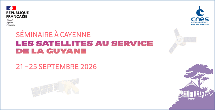
A week to imagine space applications in French Guiana
Over five days, the seminar offered a programme combining ten thematic workshops, conferences, training sessions and opportunities for professionals and users to exchange.
In total, 236 participants representing 85 organisations came together around very concrete issues: managing water better, preserving the forest and biodiversity, supporting agriculture, monitoring mining activities, observing coastline change, managing marine resources and improving land-use planning.
These discussions identified 27 priority issues and 91 courses of action, reflecting the wide range of possible applications for space technologies.
The aim was not only to present technological innovations, but above all to bring those who develop these solutions closer to those who could use them every day: local authorities, public services, researchers, businesses and field practitioners.
Behind the satellites lie applications that directly affect the lives of the people of French Guiana: anticipating certain risks, better understanding natural resources, tracking how the territory is changing and having more accurate information to guide public decisions.
SEAS Guyane, a bridge between satellites and the territory's needs
Led by the Territorial Collectivity of French Guiana (CTG), in partnership with CNES, the French National Research Institute for Sustainable Development (IRD), the University of French Guiana and the State, SEAS Guyane is a territorial facility dedicated to accessing, processing and making the most of Earth observation satellite data.
Its mission is to put the resources and expertise of space-based observation at the service of knowledge, monitoring and management of French Guiana.
This mission relies in particular on close ties with DINAMIS, the French national system for pooled access to satellite imagery, which places SEAS Guyane within a structured national framework. This partnership helps broaden access to satellite resources and strengthen the capacity to respond to the needs of local stakeholders.
The value of satellite observation lies in its ability to cover vast areas, document changes across the territory and complement existing monitoring systems, especially in hard-to-reach areas.
Making full use of it, however, requires complementary knowledge: field observations, geographic reference data, environmental data, and the work carried out by scientific organisations and specialised observatories.
It is at the interface of these resources that SEAS Guyane intends to strengthen its role, by developing processing capabilities and services that produce information tailored to users' operational needs.
Its participation in the seminar's workshops helped put this contribution into perspective across many fields of application, from natural resource management and land-use planning to environmental monitoring and economic development.
One link in a wider innovation ecosystem
One of the seminar's key lessons is the need to better connect the many initiatives already contributing to French Guiana's digital transformation and development.
Satellites produce data, but using it draws on a whole chain of skills and infrastructure: telecommunications networks to transmit it, storage and computing capacity to process it, platforms to share it, researchers and specialists to analyse it, and finally public and economic actors to put it to use.
This momentum builds on a range of initiatives led by the territory's public, scientific and economic stakeholders: expanding connectivity infrastructure, strengthening local data hosting and processing capacity, setting up platforms for sharing geographic information, structuring observation systems, and the emergence of innovation and cooperation networks across the Pan-Amazon region.
These initiatives help build an environment that supports the flow of knowledge, the testing of new solutions and closer links between skills, projects and development opportunities.
SEAS Guyane is one of the building blocks of this whole, specialising in Earth observation and making the most of satellite data.
The challenge is to make these different resources work as parts of a single ecosystem, able to support innovation, develop local skills and put technology at the service of the territory's needs.
Turning knowledge into a driver of development
For French Guiana, the value of this momentum goes far beyond space applications alone.
Having reliable information on the territory, its resources and how they change makes it possible to better prepare public policies, guide investment and anticipate future transformations.
It is also an opportunity to develop new economic activities, foster local skills and strengthen the territory's appeal in sectors of the future.
Earth observation, telecommunications, digital infrastructure, data management and the services built on them are all fields in which French Guiana has the assets to develop recognised expertise.
This ambition rests on a shared conviction: innovation is most meaningful when it meets concrete needs and contributes lastingly to the territory's development.
A shared ambition for the years ahead
Through SEAS Guyane, the CTG and its partners intend to keep developing local Earth observation capabilities, make space technologies more accessible and support the emergence of new uses.
This ambition is fully in line with the spirit of the commitment charter associated with the seminar: bringing stakeholders together, mobilising skills and making space technologies a driver of development for French Guiana.
More broadly, it reflects the will to build a territory able to draw on its own resources, talent and infrastructure to develop solutions suited to its own challenges, while remaining open to regional and international cooperation.
Observing today to decide better, anticipate and create tomorrow's opportunities: this is the spirit in which SEAS Guyane intends to continue its contribution, alongside those building the future of French Guiana.