Observe today. Anticipate tomorrow.
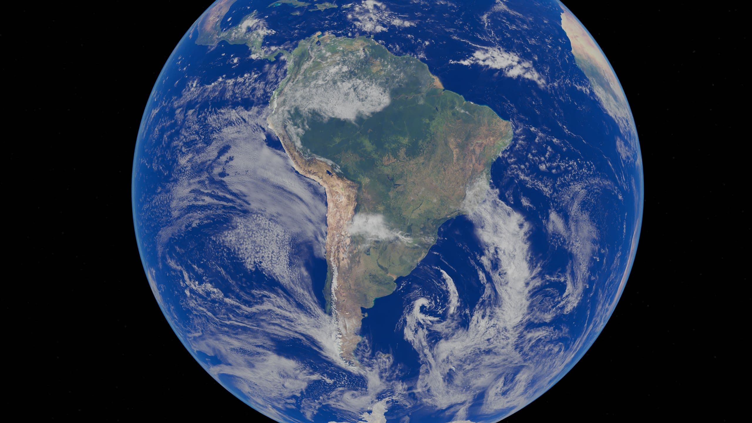
The official satellite imagery platform of the Territorial Collectivity of French Guiana, serving territories, the environment, innovation, and public policy.

the trusted territorial program
A public service of excellence for environmental monitoring and decision support in French Guiana, built on European space technologies.
Satellite-Assisted Environmental Monitoring
SEAS Guyane is the reference territorial program for satellite observation in French Guiana. It provides data, indicators, and expertise for environmental monitoring, land-use planning, risk prevention, and decision support.
Our mission is to support public actors in their use of the platform and their upskilling, to develop local expertise and innovation, and to strengthen cooperation with the Guianas Plateau, the Caribbean, and the world's major forest basins. It thereby helps reconcile economic development with sustainable territorial management.
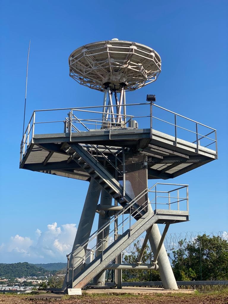
Thematic monitoring
Earth observation by satellite, mobilized to track territories and address the challenges of Amazonian and Caribbean ecosystems.
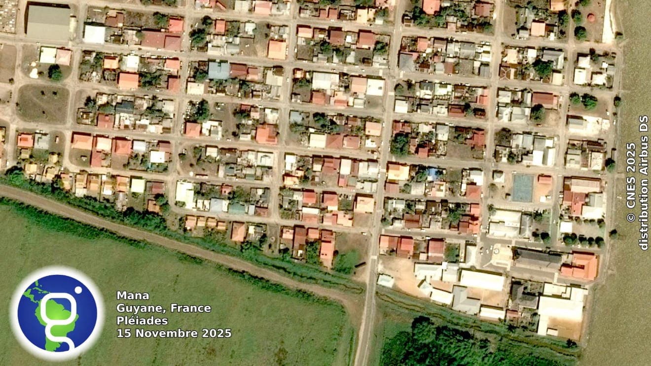
Land-use planning
Mapping land-use change, urban planning, zoning documents, and infrastructure projects.
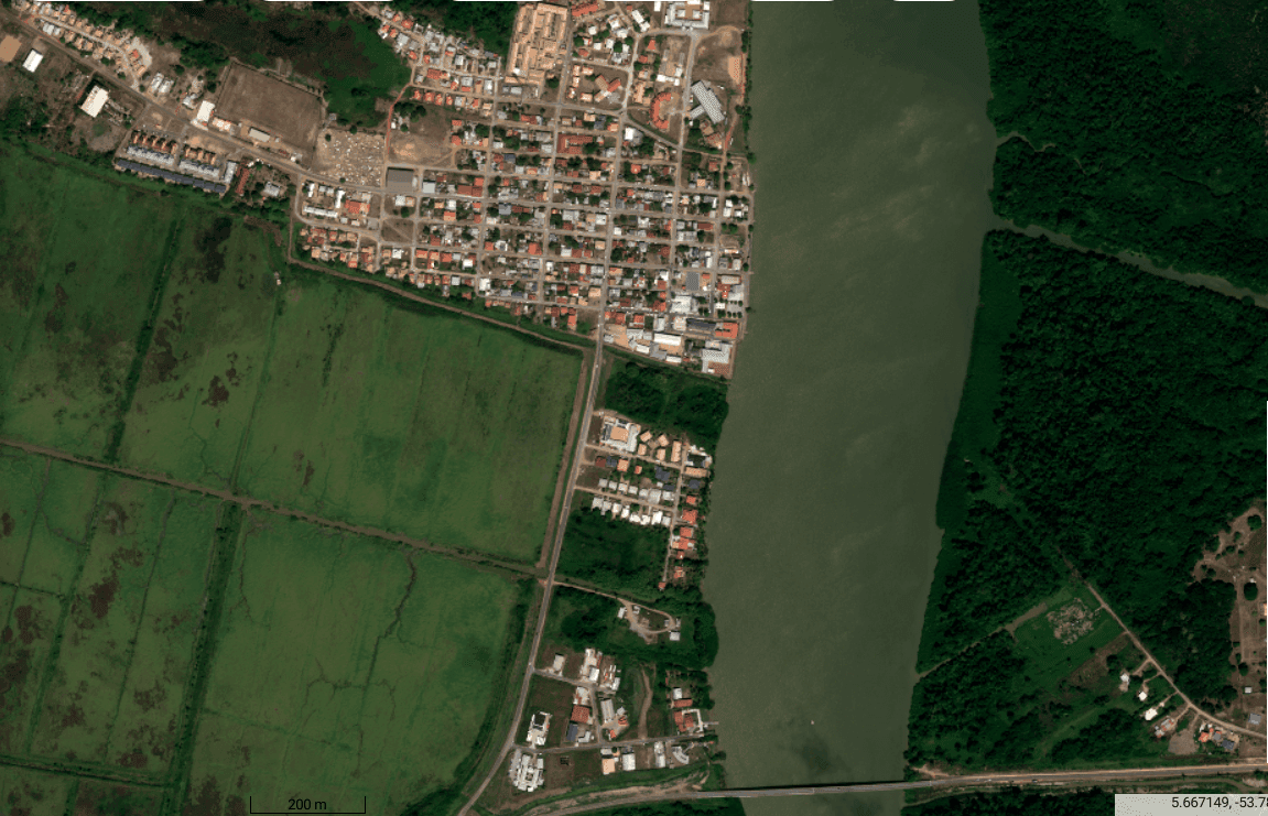
Risk management
Detecting vegetation fires, erosion and flood risk, monitoring ground movement and at-risk areas.
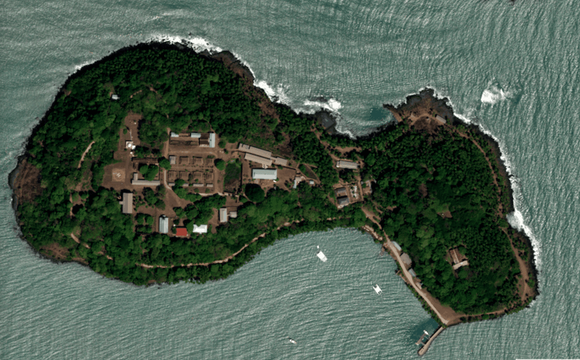
Agriculture
Monitoring of agricultural plots, cultivated area estimates, and support for agricultural development policy in French Guiana.
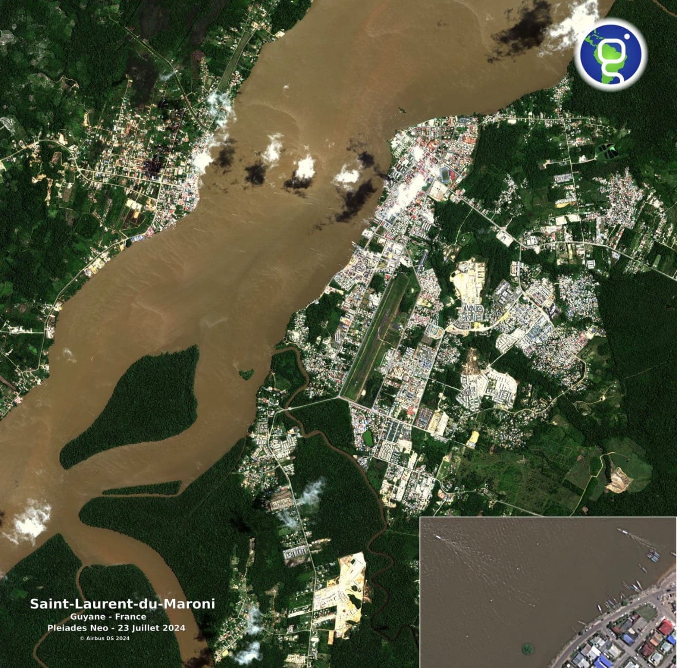
Water quality
Monitoring coastal and inland waters, detecting pollution and tracking eutrophication and turbidity.
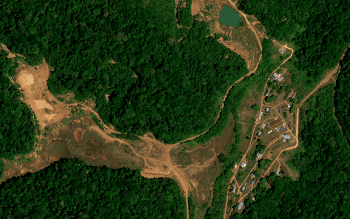
Deforestation
Monitoring forest cover change and detecting illegal logging along roads and waterways.
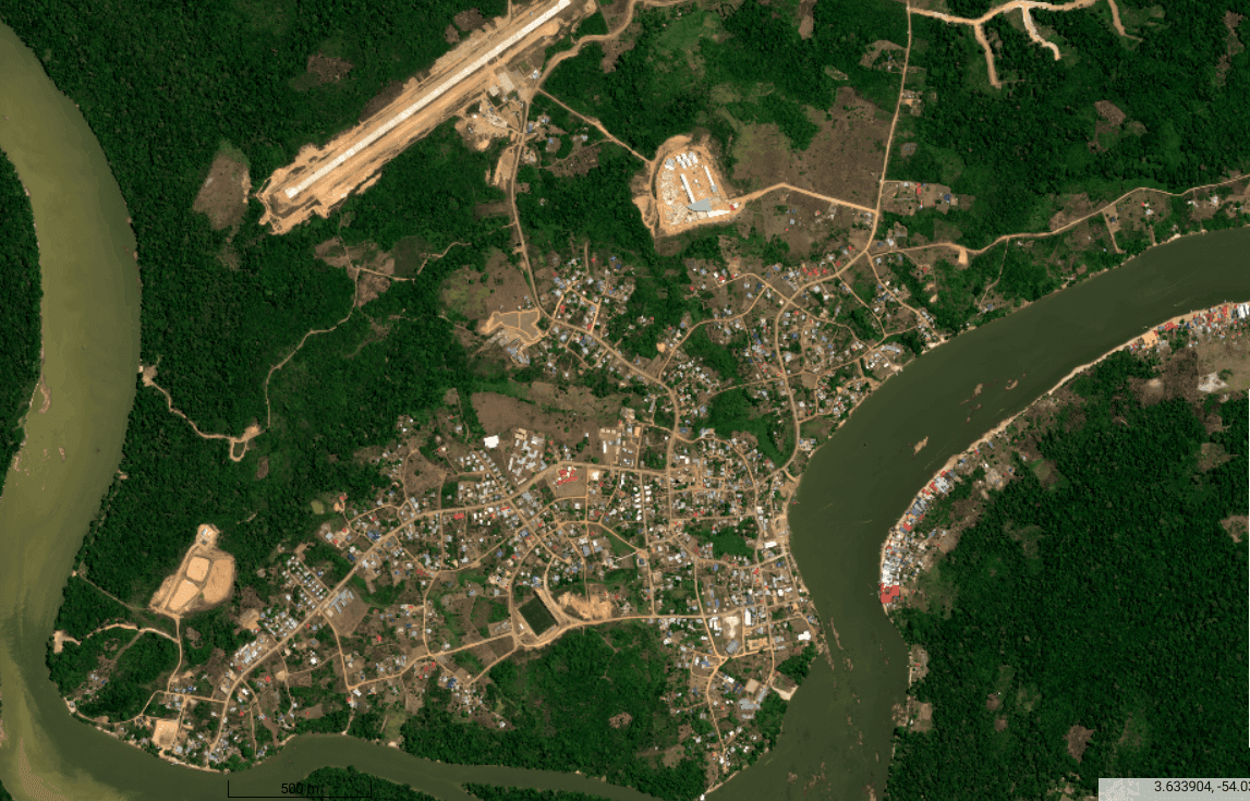
Human activity
Tracking illegal gold mining, monitoring industrial sites and infrastructure, and analyzing unregulated urbanization.
Why choose SEAS Guyane?
Unique expertise serving French Guiana, with cutting-edge technology and trusted institutional support.
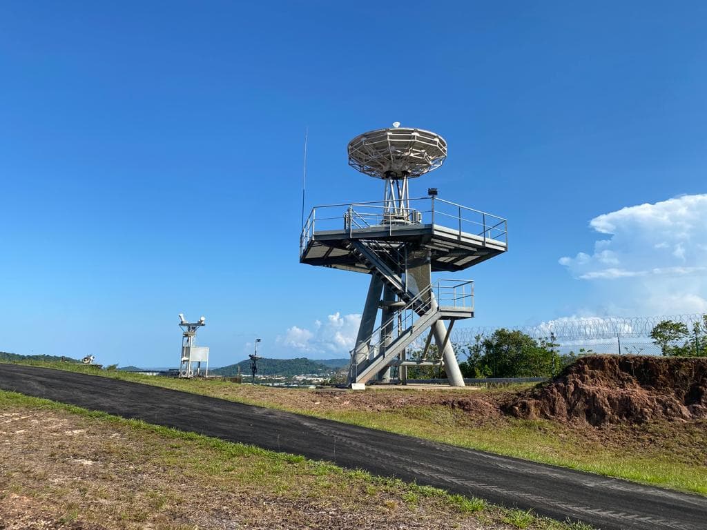
Direct reception of very high-resolution optical data from the Spot 6/7, Pléiades, and Pleiades Neo constellations.
Frequent observation capacity based on the theoretical revisit of the constellations used, to track territorial change quickly.
Unlimited-volume access to the satellite resources covered by the station's agreements, for French public actors, and foreign ones under certain conditions.
Shared access to DINAMIS satellite data, offered in French Guiana under the same conditions as nationally.
Support for public actors in accessing data, defining their needs, developing uses, and upskilling.
A public program built on continuity, data ownership, and expertise developed close to territorial realities.
SEAS Guyane by the numbers
Concrete indicators demonstrating our commitment and expertise serving French Guiana's territory.
- Sentinel-2Operational
- AI processingActive
- DistributionNominal
- ArchivingOperational
Access the satellite data catalog
Explore our enriched catalog of satellite imagery covering all of French Guiana. Sentinel data, historical archives, and specialized processing available in just a few clicks.
News
See all news
CNES seminar: Satellites for French Guiana
From 21 to 25 September 2026, the seminar "Satellites for French Guiana" ("Les satellites au service de la Guyane"), organised by the French space agency (CNES) at Guyane Développement Innovation (GDI), brought together public, scientific, economic and community stakeholders around a shared ambition: making better use of space technologies to meet the territory's needs and build tomorrow's opportunities. As a partner in this effort, SEAS Guyane found its natural place at the crossroads of Earth observation, innovation and public action.
Read more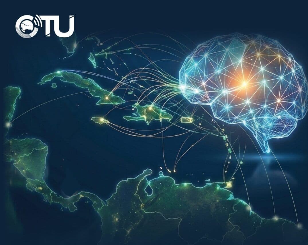
CTU ICT Week 2026
From 20 to 24 September 2026, French Guiana hosted the CTU ICT Week for the first time. Invited to a panel on space technologies serving territories, SEAS Guyane shared the French Guiana experience and explored new avenues for pooling resources and cooperating with Caribbean partners.
Read moreA question, a project?
Our team is here to help with any request for data access, support, or information.